Itineraries
Routes
16 itineraries promoting accessibility and sustainability
Ministry of Culture
NextGenerationEU
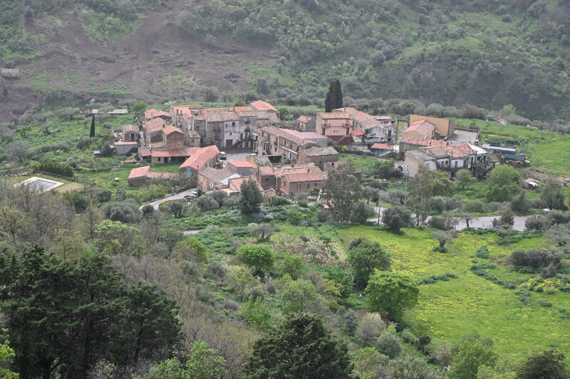
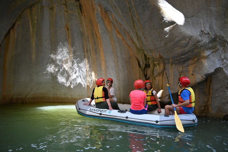
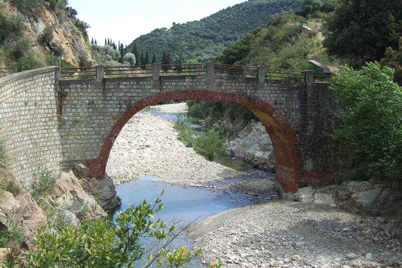
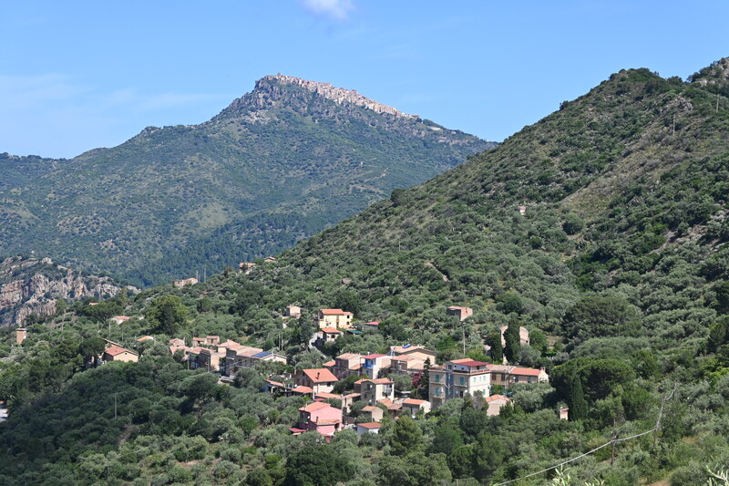
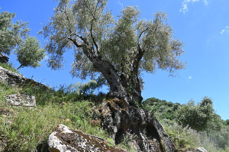
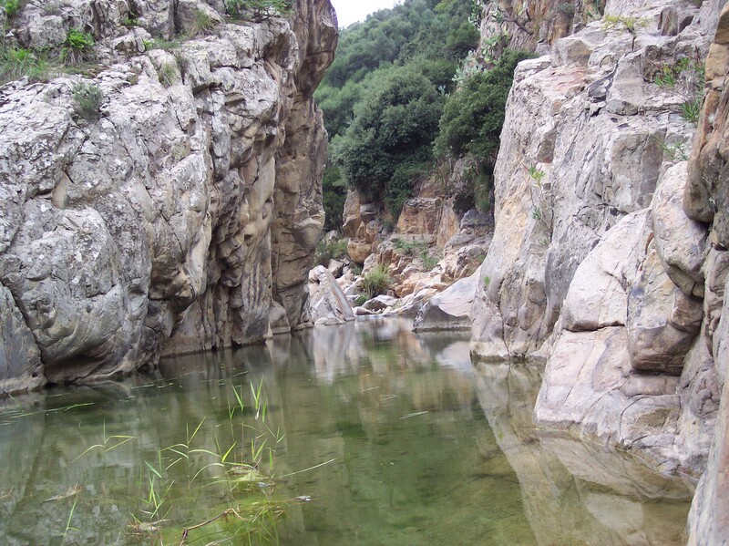
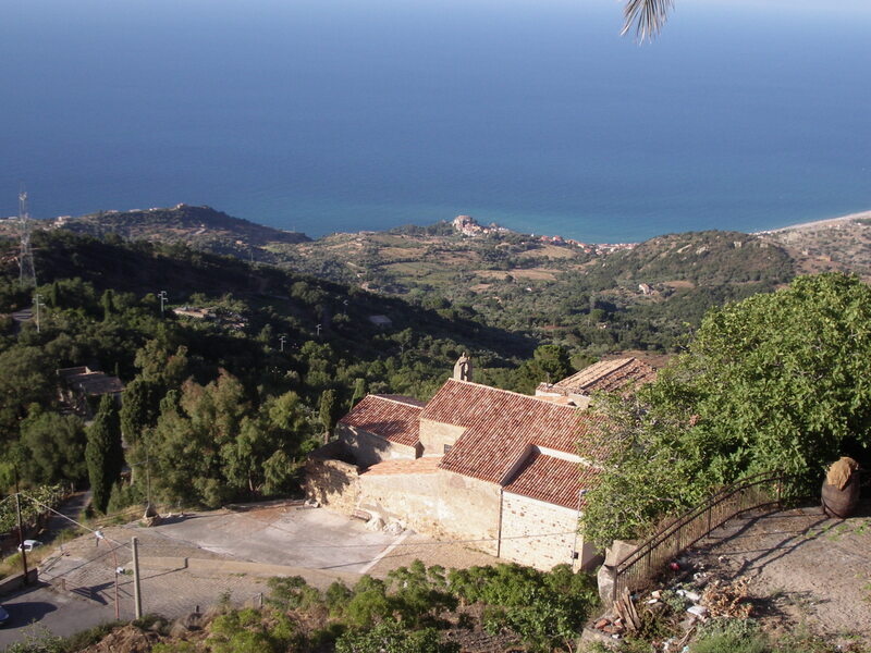
Madonie Park
16 itineraries promoting accessibility and sustainability
Ministry of Culture
NextGenerationEU
Madonie Park